
Oct 17, 2026
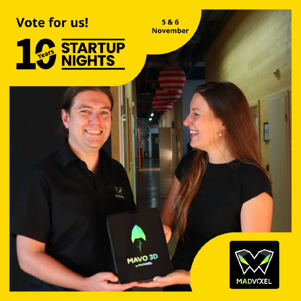
Vote for us to pitch
We are in the run for a Pitch at Startup Nights …
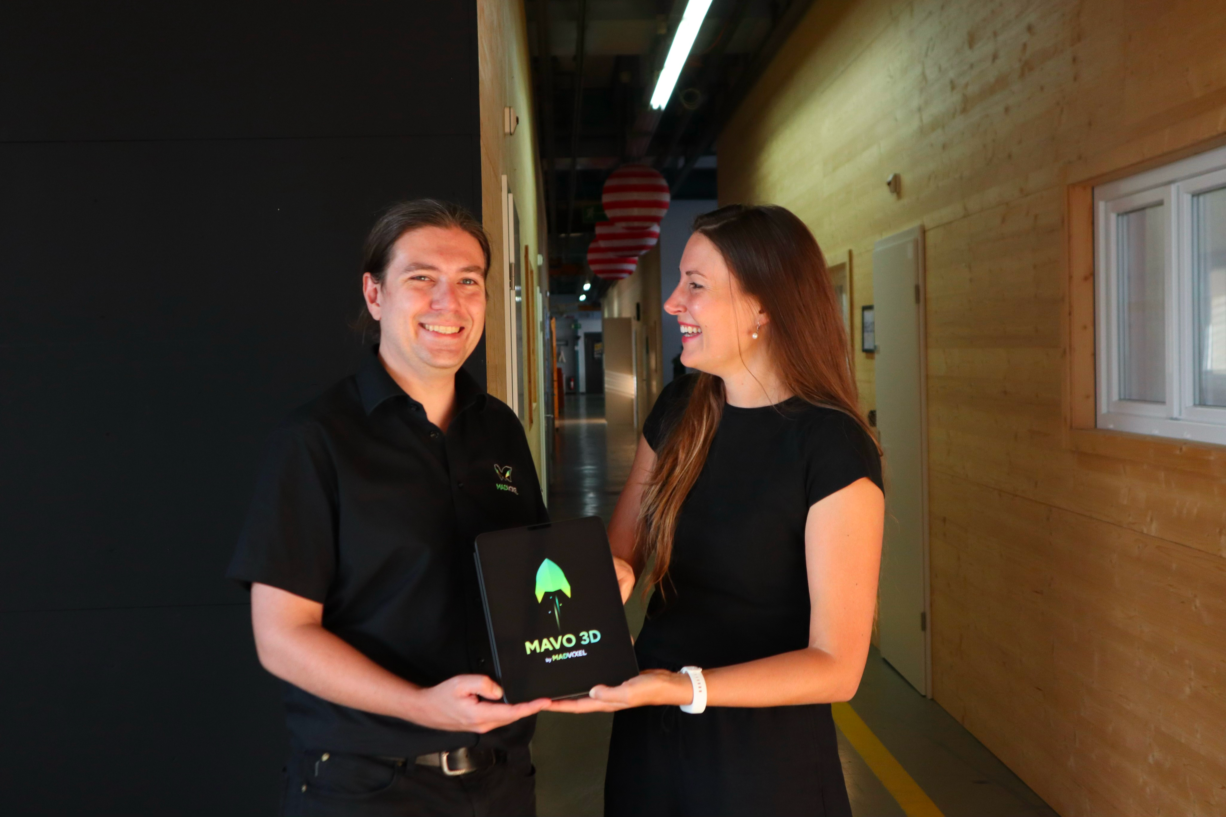
MAVO 3D by MadVoxel
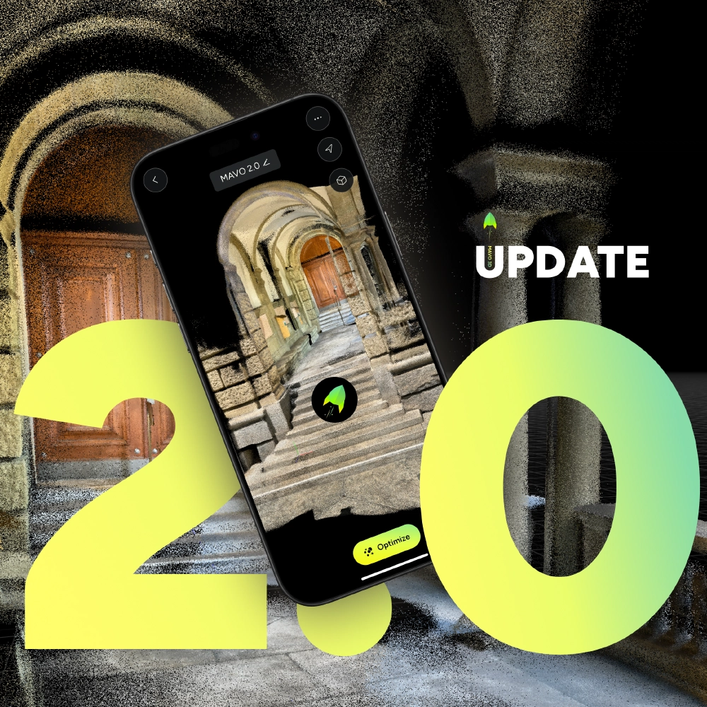
Capture accurate 3D point clouds on-site. With offline processing and full control over your data, to create professional as-built documentation.
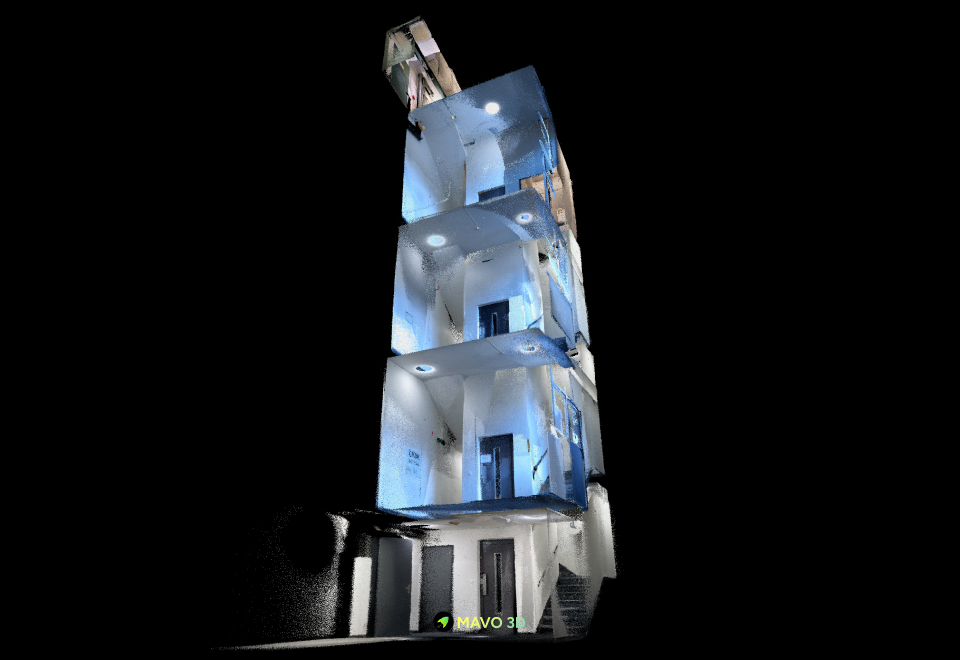
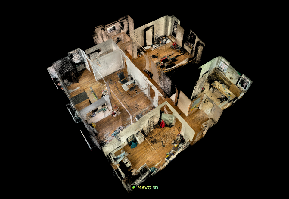
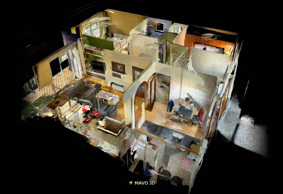
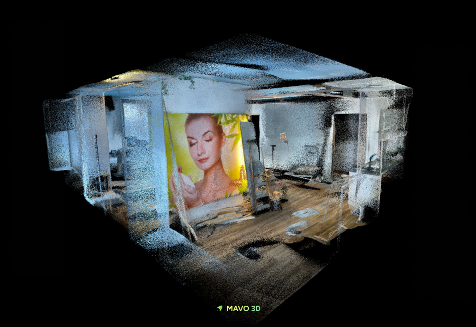
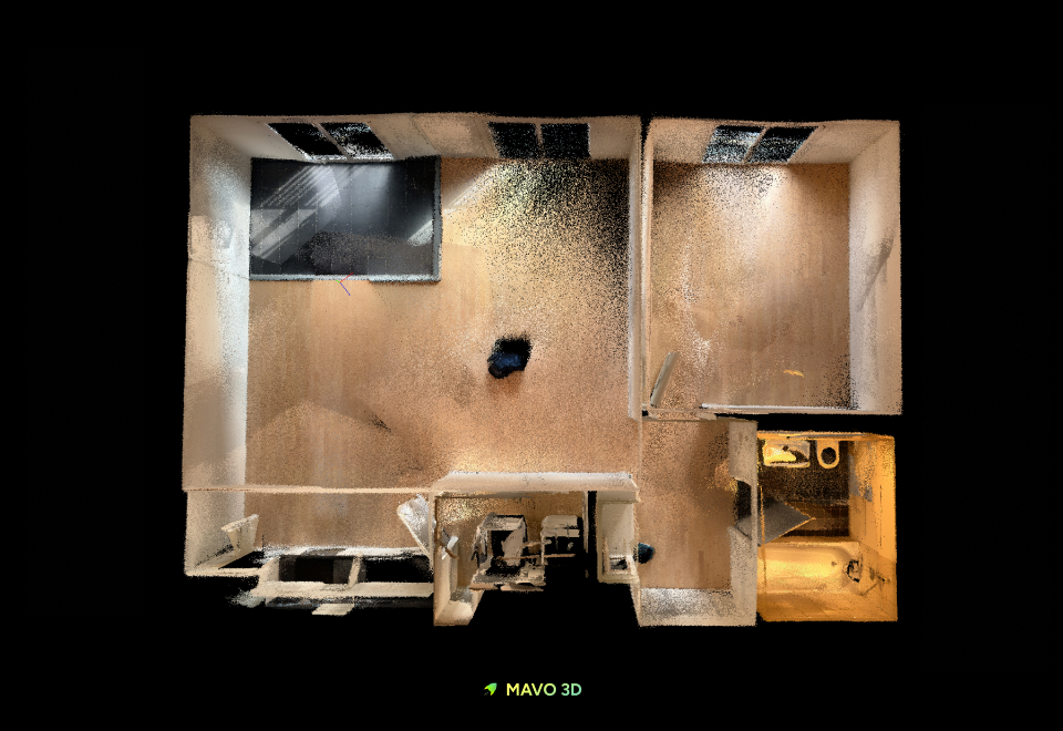
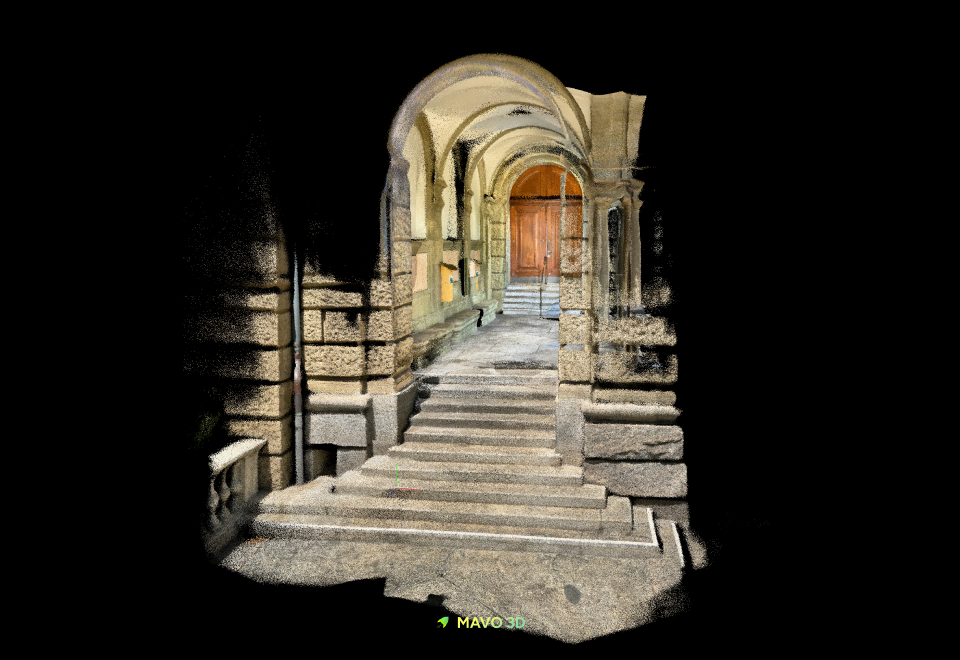
Swiss quality
Our app is made for teams that need 3D models in professional contexts, but without the steep learning curve. MAVO 3D does its job, the moment you download and start 3D scanning.
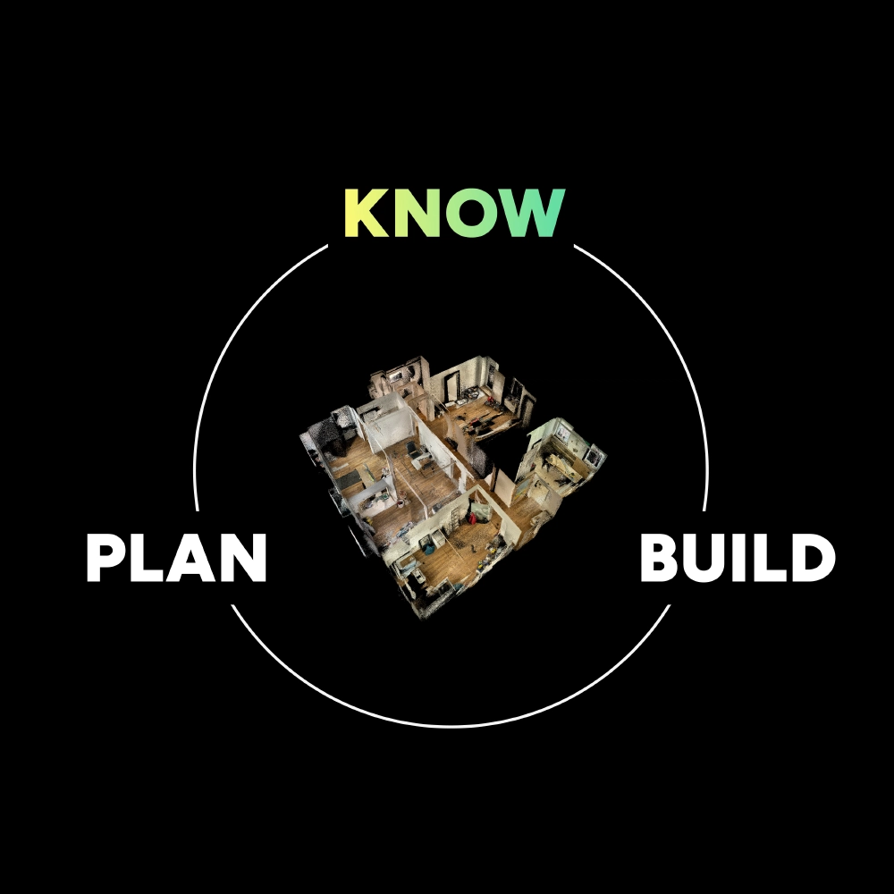
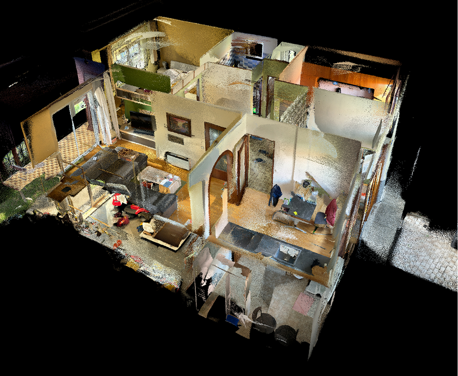
Capture existing conditions before you design.
Verify what was built against what was planned.
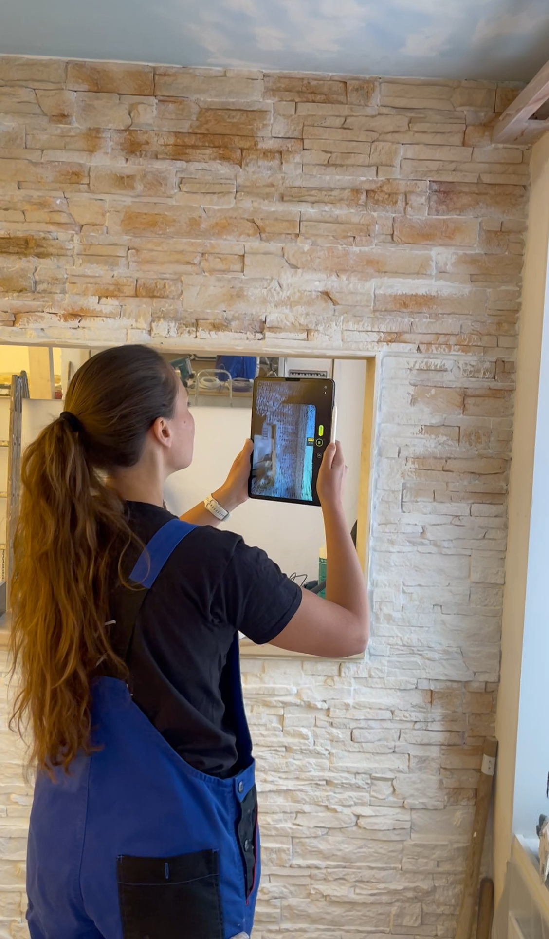
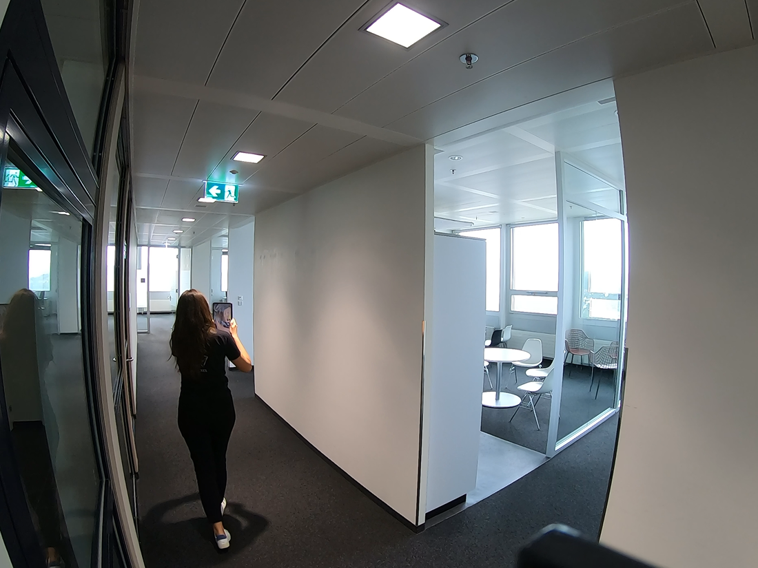
Capture buildings without slowing down the project.

What our customers say
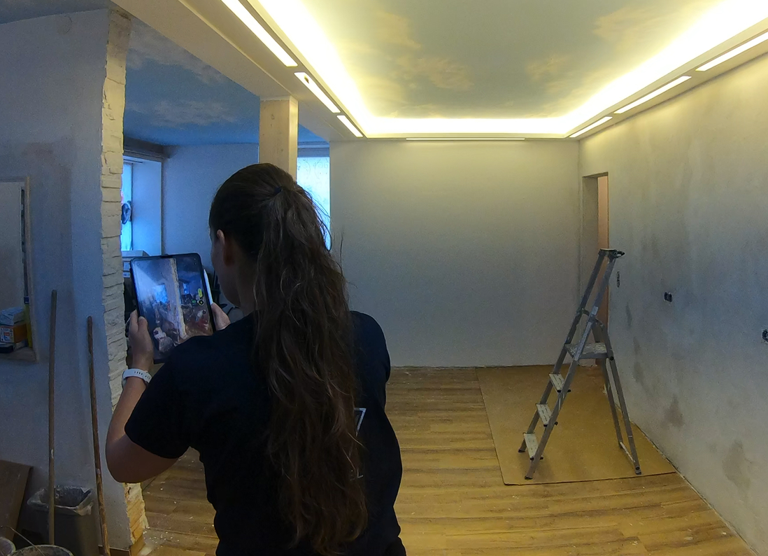
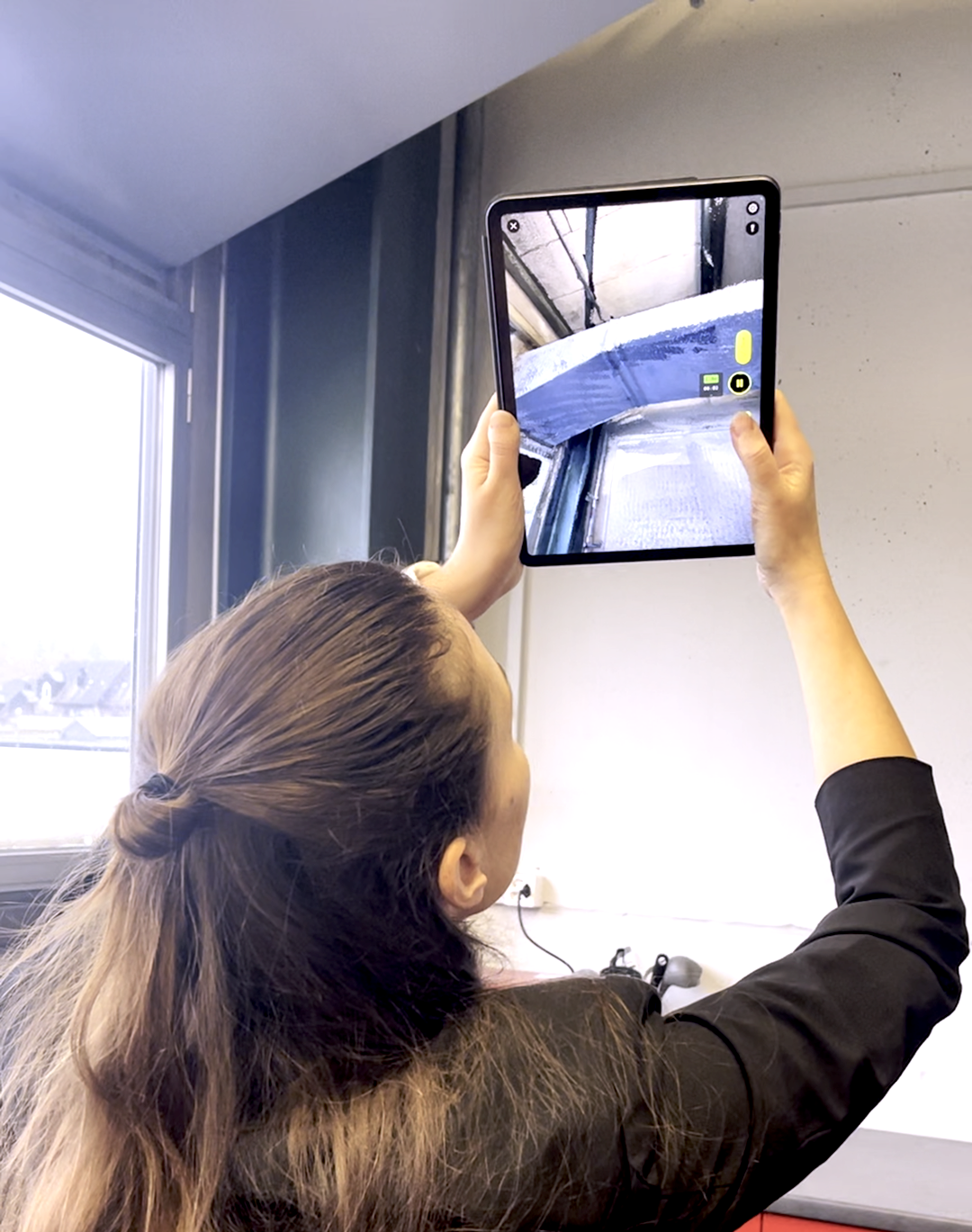
Mit MAVO 3D konnten wir das Bestandsgebäude im Gelände verorten, die Fensterpositionen verlässlich überprüfen und gleichzeitig die Höhenverhältnisse optimal beurteilen.
Ideal für unsere Vorstudie!

Innenarchitektin
How do you live?
Swiss Quality
Our app is made for usage in professional contexts, but without the steep learning curve. MAVO 3D does its job, the moment you download and start 3D scanning. No complexity and no compromise on accuracy.


Partnership
MAVO 3D is already integrated into professional platforms across architecture, construction and reality capture. If your product works with 3D data, we should talk.
We are actively looking for venture clienting projects. Reach out to us to build upon our stable 3D reality capture engine and deliver solutions tailored to your specific needs in construction and real estate.
Let the partners speak for themselves. Already running in the field, see how ATIS.cloud, Pointorama and others integrate with MAVO 3D.
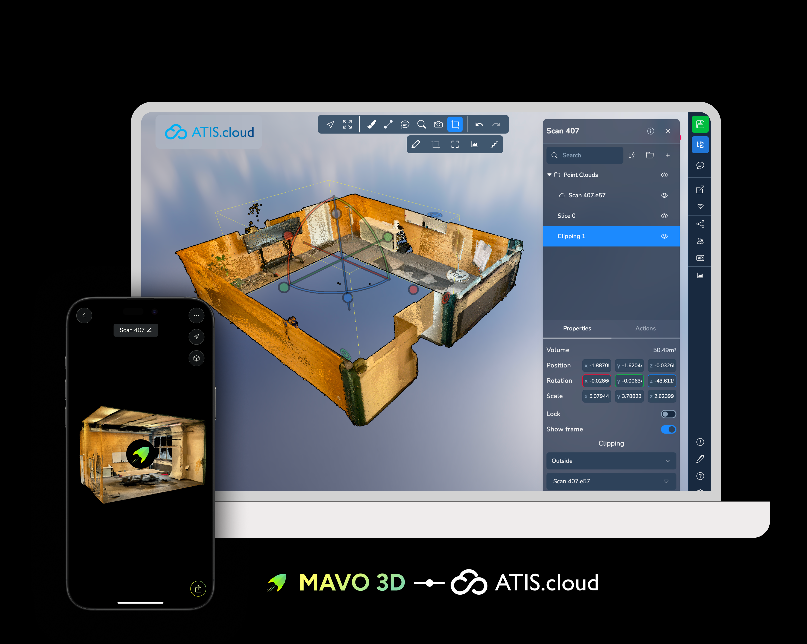
Share your reality capture project files instantly with workshops, design offices or on-site teams. For a streamlined process from field to model with no manual file handling or interruptions.

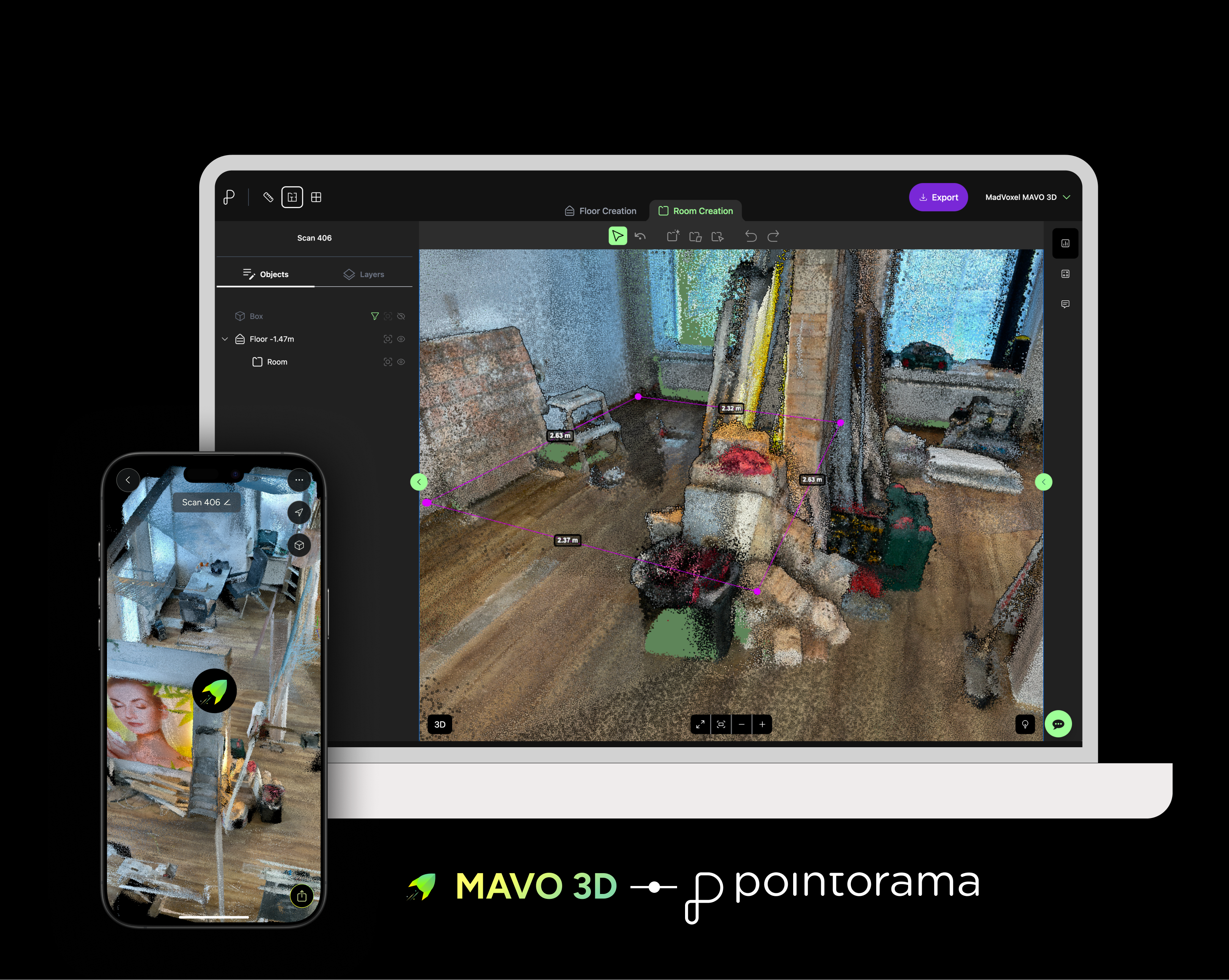
From iPhone & iPad Pro LiDAR reality capture to finished floor plans in Pointorama. Assisted drawing tools help working fast without losing precision. All in one combined straightforward workflow.

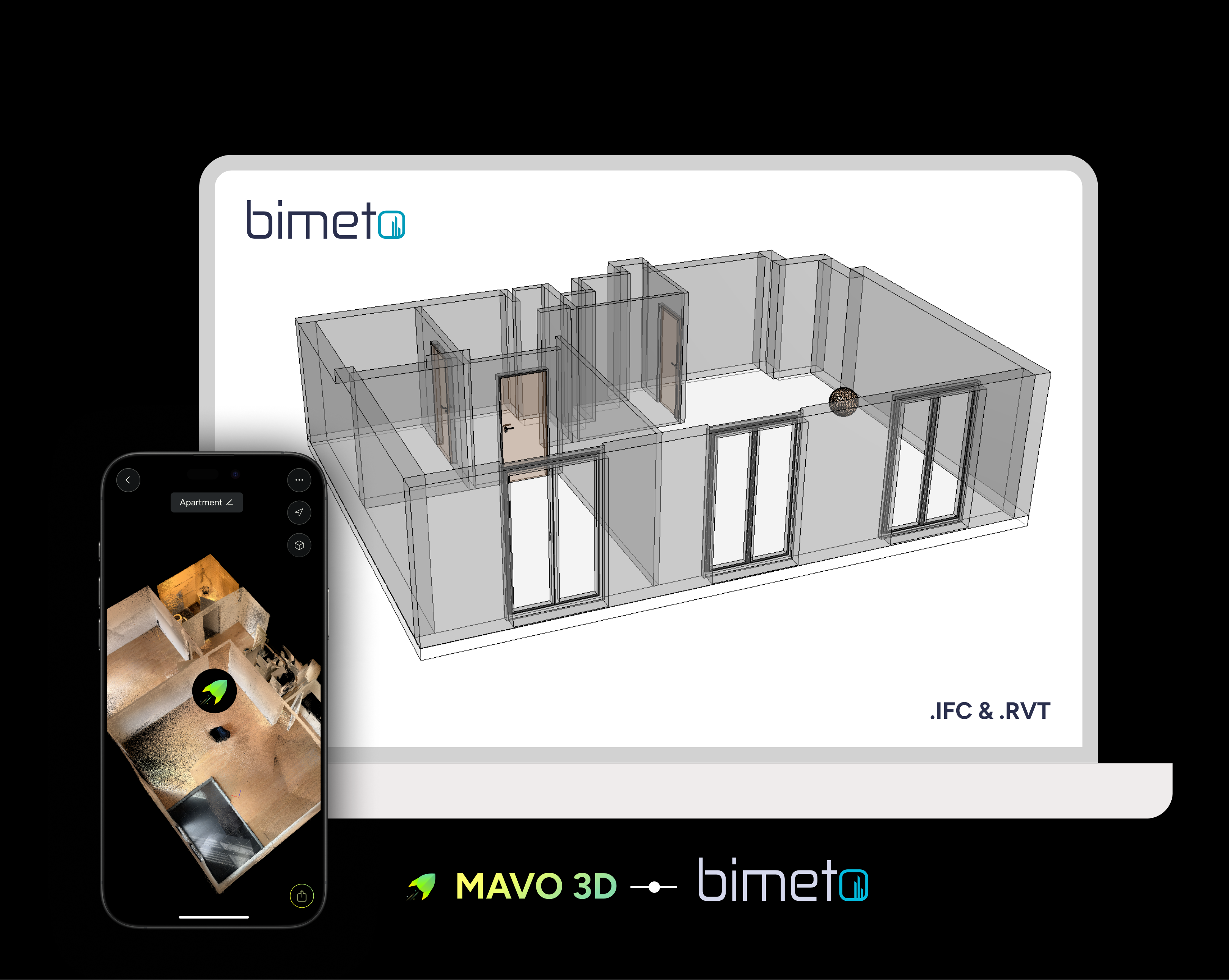
Upload your 3D point cloud scans directly from MAVO 3D to bimeto, and get back ready-to-use BIM models (IFC & RVT) in LOD 200 or 300.

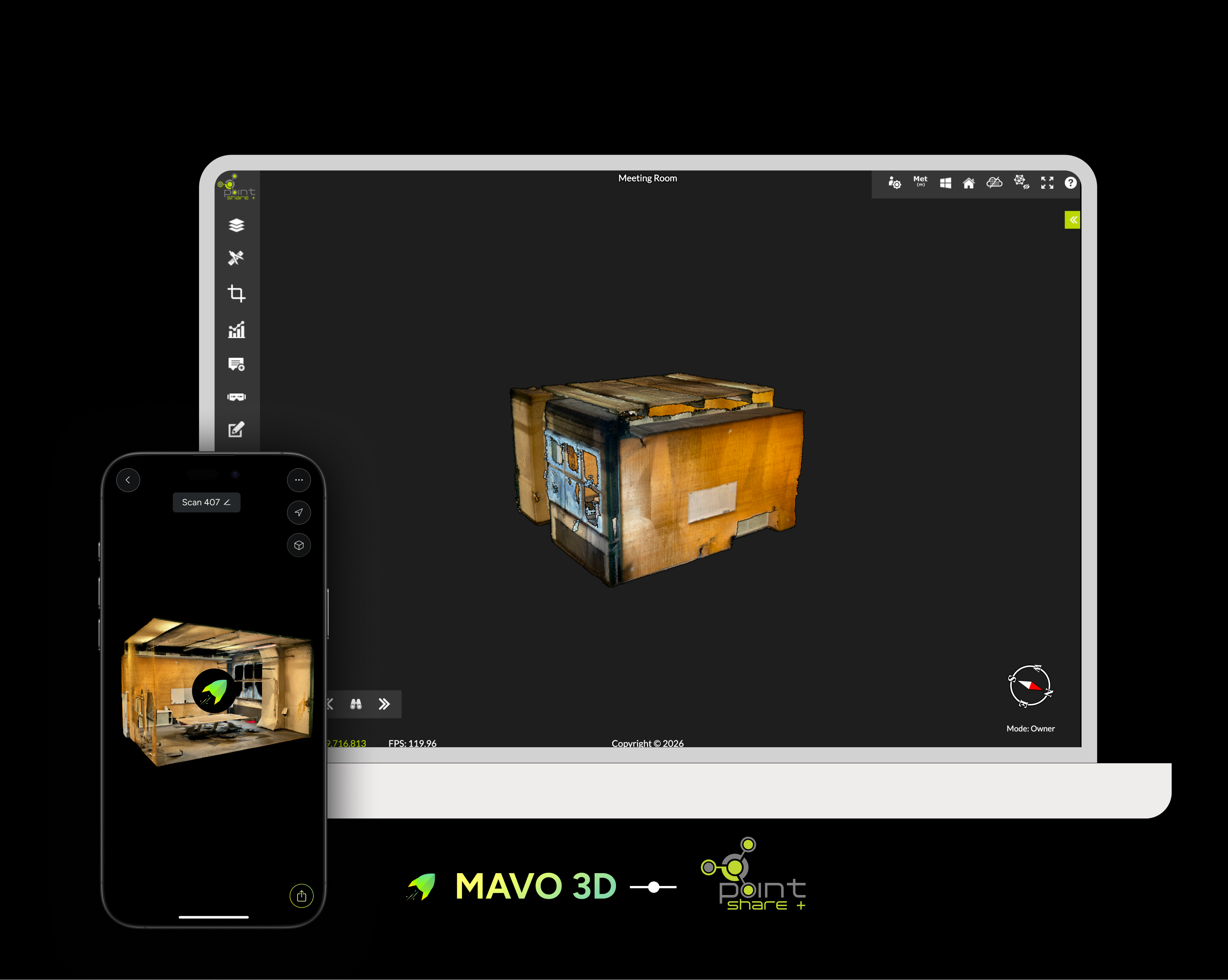
Storing your 3D scans in the cloud makes it easy to share and access your projects in the browser. Point Share Plus is built for surveyors, engineers and construction teams.
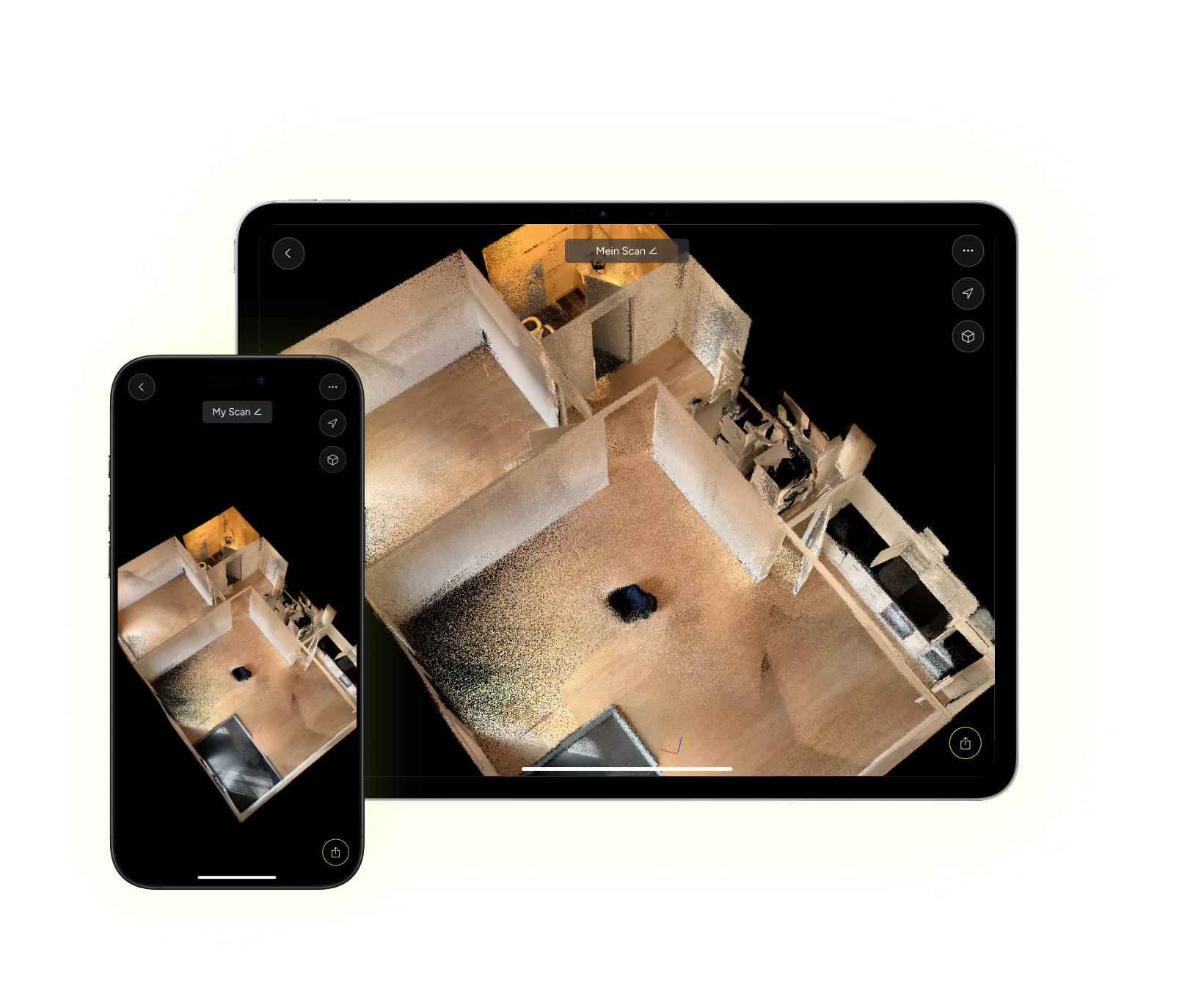
MAVO 3D is available for iPhones and iPads with LiDAR Sensor. Start 3D scanning with the most accurate app on the market, for free.

Is my iPhone or iPad supported? MAVO 3D supports the following devices: iPhone: 12/13/14/15/16/17/18 Pro & Pro Max iPad Pro: Starting with the 2020 model & all M-series iPad Pros (M1, M2, M4, M5)
Check out our


Who is
We are a Swiss deep tech startup, building reality capture infrastructure for AECO professionals.
We’ve developed our own core algorithms and processing pipelines from the ground up. Not another off-the-shelf ARKit framework. This requires specialized mathematical expertise and careful engineering.
The result of months of dedicated research, iterations and continuous refinement is a maintainable, robust and future-proof reality capture solution, built for the long term.
We create MAVO 3D. Our first product, already used by construction, surveying and architecture teams on real projects. An accessible and reliable 3D scanning app for the built world.
Engineered with Swiss precision, MAVO 3D is the new generation of reality capture, built for interoperability and open standards.